
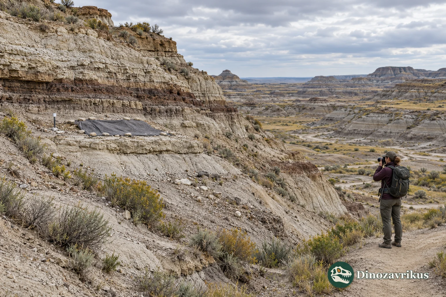
A fossil site is more than the bones visible at the surface. Its scientific record may include the layer that contains them, their position and orientation, nearby remains, trace fossils and the shape of an ancient surface. Removing specimens without recording those relationships can preserve objects while losing evidence about how they accumulated.
Leaving every exposure untouched is not always possible. Rain, freeze–thaw cycles, wind, floods and slope movement can expose new material and then break or carry it away. Construction, quarrying, trampling and unauthorized collecting create different pressures. Conservation begins by identifying the process at a particular place rather than applying the same structure or rule everywhere.
Define the site and the information at risk
The visible fossil may represent only a small part of a fossil-bearing bed. The layer can continue beneath loose debris, vegetation or younger sediment, while nearby strata may explain whether bones were buried together or transported. Field records therefore describe the geological boundaries and the relationships among finds, not just the most striking specimen.
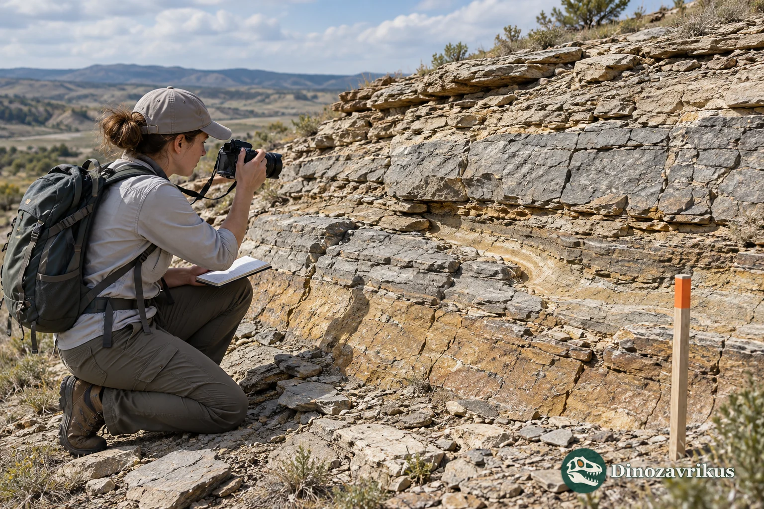
A useful baseline includes mapped boundaries, photographs from fixed viewpoints, a scale, date, surface condition, cracks, drainage routes and known disturbances. Sensitive coordinates may be retained in museum or agency records without being published openly when public access could expose a vulnerable locality to collecting.
Monitor change with repeatable observations
Repeat photographs are most informative when they use the same viewpoint, direction and scale. Reference markers or erosion pins can help quantify surface movement at suitable sites. The interval between visits should reflect the local threat and the value of detecting change; a schedule used at one park is not a universal standard for every fossil bed.
Monitoring can reveal whether a threat is accelerating, stable or shifting. A new crack after a storm, for example, may justify a closer inspection, while a stable exposure may need only periodic documentation. Records also help distinguish gradual weathering from a sudden disturbance and show whether a protective measure has actually reduced damage.
Separate scientific value from vulnerability
A rare locality can be scientifically important but physically stable. A more common bed may face rapid erosion or an imminent construction project. Assessments are clearer when they describe these two dimensions separately: what evidence the site can provide, and how likely it is to be damaged or lost.
Risk scores and maps can help prioritise visits, but they do not replace field judgement. Flooding, fire, land-use changes or a newly exposed bed can alter the situation. The assessment should state its assumptions and be revised when conditions change.
Choose a response that fits the threat
Sometimes the best option is continued observation. Other sites benefit from redirecting foot traffic, limiting access, managing runoff or adding a roof or local shelter. Any structure can change moisture, drainage or temperature, so it needs a design suited to the geology and a plan for inspection and maintenance.
Where erosion cannot be controlled, a site may be covered with protective sediment or carefully excavated before information disappears. In-place burial can preserve a layer for future study but may complicate access and drainage. Salvage excavation can move specimens into a collection, yet it must document positions, strata and associations before removal. Neither response is automatically preferable in every setting.
Make the record useful beyond the field season
A conservation decision should leave a traceable record: the condition observed, the threat identified, the action taken and the result at a later visit. Collection numbers, maps, photographs and sediment descriptions connect recovered specimens to their original context. For the next stage of a specimen’s history, see our guide to what happens after a fossil is excavated.
Visitors who notice a possible fossil can help by leaving it in place, recording a general location and contacting a local museum, university or land manager. Exact coordinates of vulnerable sites should not be shared casually. The aim is to keep both the material and the evidence of its setting available for future research.
Frequently asked questions
Does every exposed fossil site need a shelter?
No. A shelter can alter drainage, moisture and temperature, and it needs maintenance. Monitoring or managing access may be more appropriate when the exposure is stable or the main threat lies elsewhere.
Can erosion ever help a fossil site?
Erosion can reveal buried material, but it can also break, move or destroy exposed evidence. Its effects depend on the local rock, slope, water flow and rate of change.
Why are some fossil-site coordinates kept private?
Precise public coordinates can increase the risk of unauthorized collecting or damage. Researchers and responsible agencies still need accurate location records for documentation and future study.
When are salvage excavations used?
They may be considered when a site faces a threat that cannot be reduced in place. Excavation should document the fossil’s position and geological context before removal; it is not automatically better than protecting the site where it lies.